Posted by Limestone Coast Landscape Board on
In recognition of the critical role science plays in managing water resources, the Limestone Coast Landscape Board is launching a new research project aimed to increase its understanding of where and how resilience can be built into Limestone Coast water resources to support primary production.
In partnership with the Goyder Institute for Water Research, the project will explore whether there are opportunities to manage water from the extensive drainage network in the region to address risks to primary industries and groundwater dependent ecosystems. The collaborative approach will be led by research teams from the CSIRO, Flinders University and, the University of South Australia.
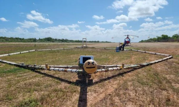
With the launch of the collaborative partnership the project will be taking to the skies over the coming weeks with the CSIRO undertaking a geophysical airborne electromagnetic (AEM) survey over the region’s southern coastline, collecting data to understand the extent of seawater intrusion inland.
Commencing early October 2022, the geophysical airborne electromagnetic (AEM) survey is expected to take at least 7 days and will use a low flying helicopter which will tow a frame slung beneath it in order to conduct the survey. The circular frame carries the AEM equipment which measures changes in conductivity of the ground which will indicate the depth of the water and its salinity.
The AEM system uses technology that has been used widely and safely across Australia for groundwater and environmental investigations.
"The signals generated by the helicopter AEM system are weaker than those emitted from mobile phones and TV antennas," advised CSIRO, Deep Earth Imaging Lead, Dr. Tim Munday.
"While the helicopter will be flying as low as 60 m above these areas during the survey, it is important to advise the community the pilots will not fly over farmhouses, sheds, and dwellings, keeping a distance of up to 300 m away," Dr. Munday said.
The survey will run over 1,300 parallel flight lines across the lower Limestone Coast over the localities of Kongorong, Carpenters Rocks, Nene Valley, Blackfellows Cave, Eight Mile Creek, Port MacDonnell, Donovans Landing, Wye and the Glenelg National Park.
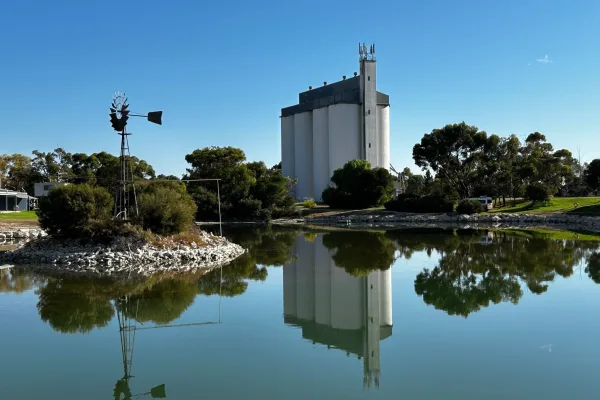
"Groundwater resources in this area support extensive irrigated primary production, social assets and iconic wetlands of regional, national and international significance." said Limestone Coast Landscape Board General Manager Steve Bourne.
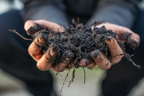
To understand the opportunities to manage water from the drainage network we must understand the extent of, and risk associated with seawater intrusion in the area first. Changing water use in the area could impact primary production and the environment if this risk isn’t understood.
The aerial monitoring is part of the Limestone Coast Landscape Board’s broader water resource management approach of ‘Making Every Drop Count’, which has funding support through the Australian Governments National Water Grid Authority (NWGA) Science Program, NWGA Connections Funding Pathway and the South Australian Governments Landscape Priorities Fund.
The ‘Making Every Drop Count’ focus of the Limestone Coast Landscape Board seeks to explore innovative new ways to achieve water security and sustainability in the Limestone Coast in a changing climate.
Explore the Lower Limestone Coast Water Allocation Plan project page.