This website uses modern construction techniques, which may not render correctly in your old browser.
We recommend updating your browser for the best online experience.

Visit browsehappy.com to help you select an upgrade.

Skip to Content

Limestone Coast weather station network

Get the weather nearest you

As a land manager and primary producer knowing the weather nearest you is critical to your business. The Limestone Coast Landscape Board Automatic Weather Station (AWS) Network captures and stores weather data at over 20 sites in the Limestone Coast. This builds a picture of current and historic weather conditions across the Limestone Coast.

Access the network to get your weather today.

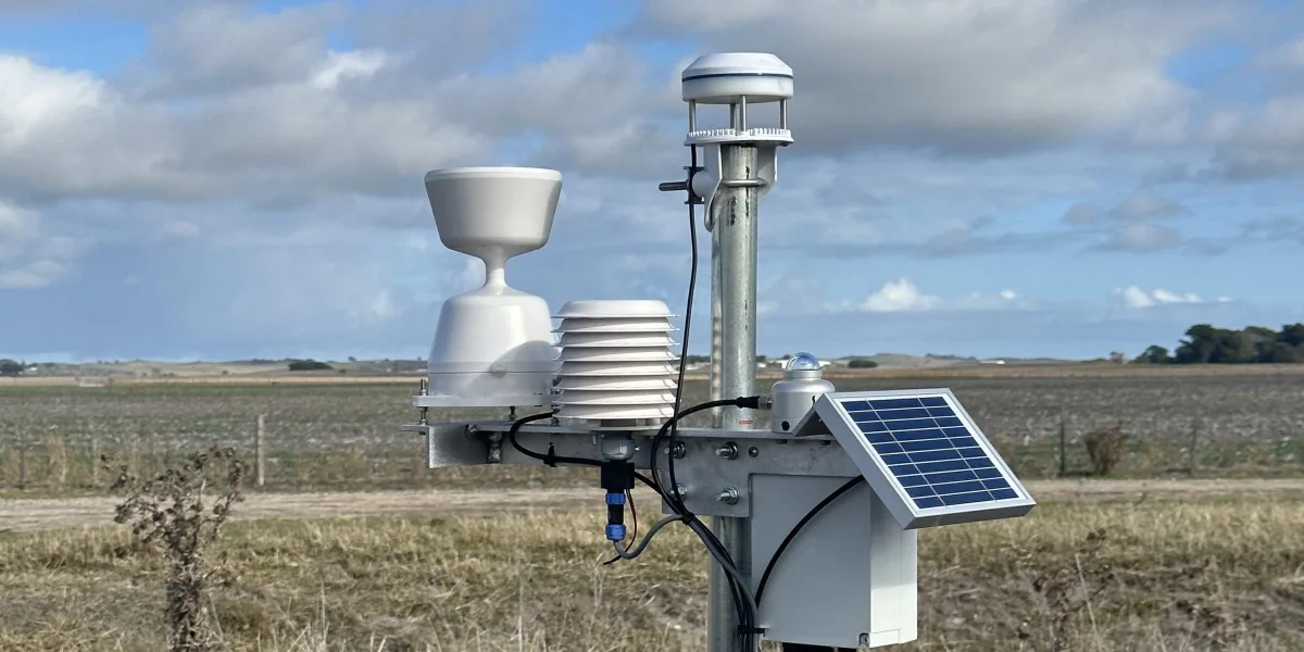
Basic data collected by the weather station network

Each weather station collects:

  • rainfall
  • temperature
  • humidity
  • global solar radiation
  • wind speed and direction.

Calculated indicators for the weather stations

Based on the data collected the following indicators are calculated:

  • dew point
  • apparent temperature
  • growing degree days
  • chill hours
  • frost
  • evapotranspiration
  • delta-T
  • in-crop canopy temperature
  • calculate minima, averages and maxima for most data sets.