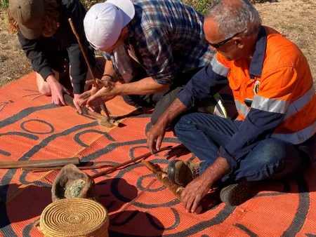
Acknowledgement of Country
We acknowledge the Traditional Custodians of the land and waters of the Limestone Coast. We pay our respects to their Elders past, present and emerging.
We recognise that First Nations were the first sovereign Nations of Australia and possessed it under their own laws and customs. We respect the continuation of their cultural, spiritual, physical and emotional connection.
We also acknowledge our walking together relationship with the South East Aboriginal Focus Group, Burrandies Aboriginal Corporation and Ngarrindjeri Aboriginal Corporation.
For the work of generations past, and the benefit of generations future, we seek to be a voice for reconciliation in all that we do.
Locating the Limestone Coast
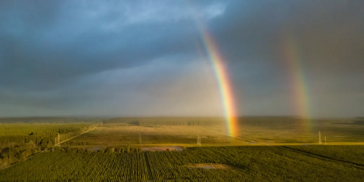
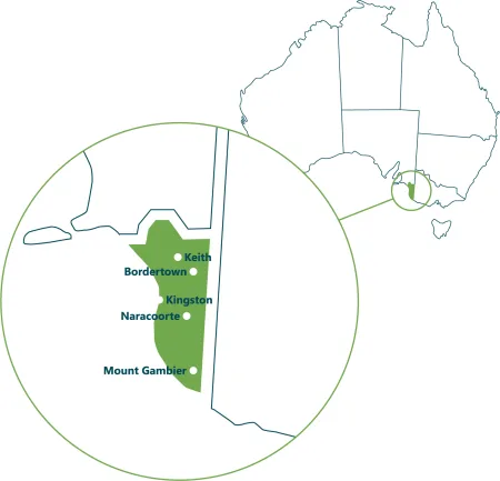
The Limestone Coast is in the south-eastern corner of South Australia.
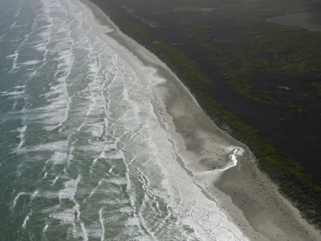
It is bound by the Victorian border to the east and the Southern Ocean to the south and west.
A unique geological history shaped our landscape
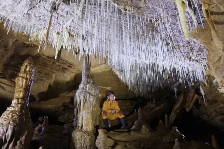
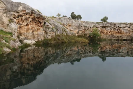
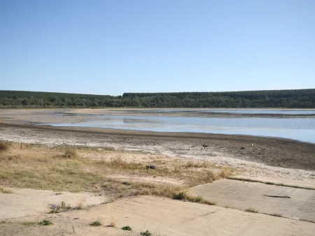
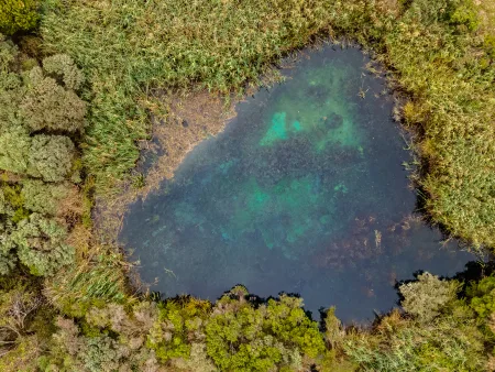
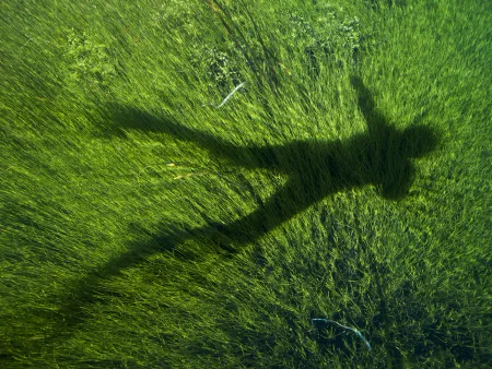
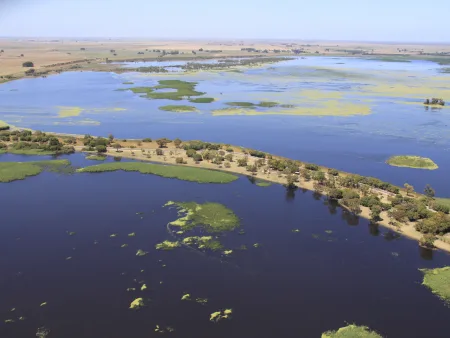
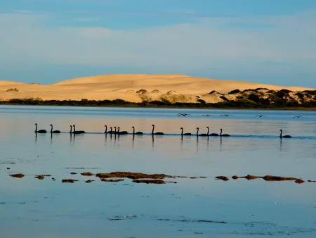
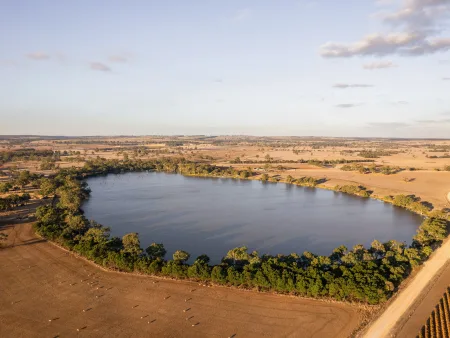
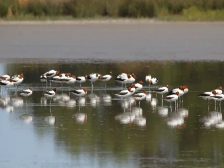
The landforms that we recognise as being a part of the Limestone Coast come from a long and complex geological history. Stranded dune ranges rise between 20 to 50 metres above interdunal plains. These stranded dune systems have remained as the sea gradually retreated over thousands of years. Between these dunes are internationally recognised wetlands including the Ramsar listed Bool and Hacks Lagoons and part of the Coorong and Lower Lakes Wetlands. Limestone sinkholes and caves, including the World Heritage listed Naracoorte Caves, are another unique feature across the landscape.
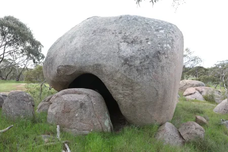
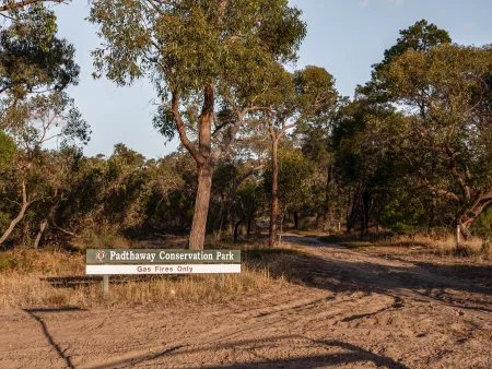
Granite outcrops occur in the north around Padthaway to Bordertown. Dormant volcanoes exist around the southern areas of Mount Gambier. Cave systems have formed along the Kanawinka and Tartwaup fault lines.
A landscape changed through time
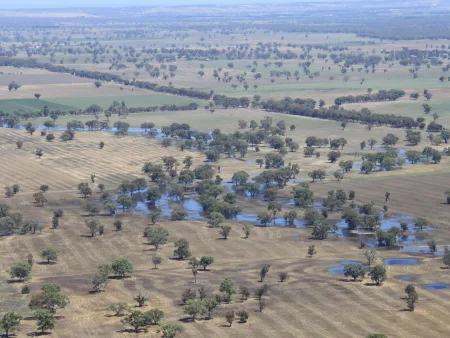
At the time of European settlement, the Limestone Coast was a mosaic of vegetation types. Forests, woodlands, mallee, shrubland, sedgeland, herblands and grasslands and extensive areas of wetlands.
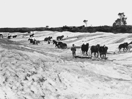
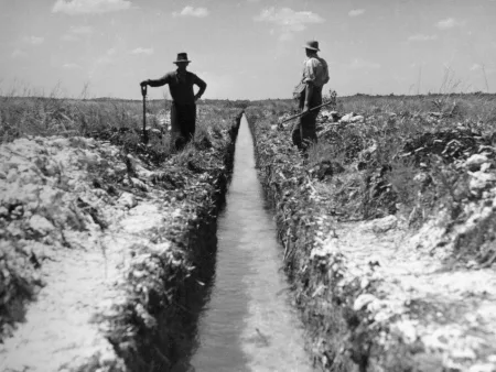
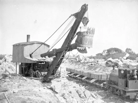
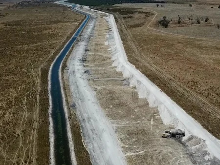
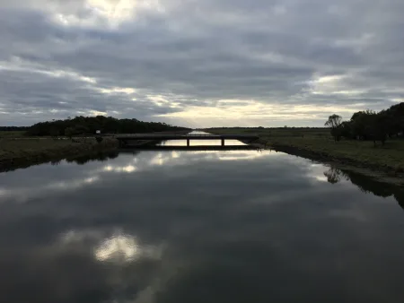
The large areas of wetlands were a barrier to development. To overcome this inundation the landscape has been drained. The first drains were installed in the 1880s in the lower Limestone Coast with the majority constructed between 1949 to 1972.
When dryland salinity began spreading in the upper Limestone Coast further drains were constructed. The upper network moves saline flows away from wetlands while protecting agriculture. The drainage network now has more than 2,500 km of drains and floodways.
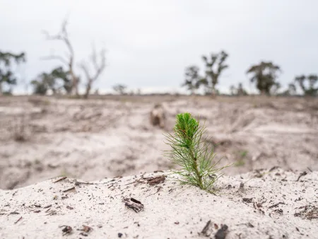
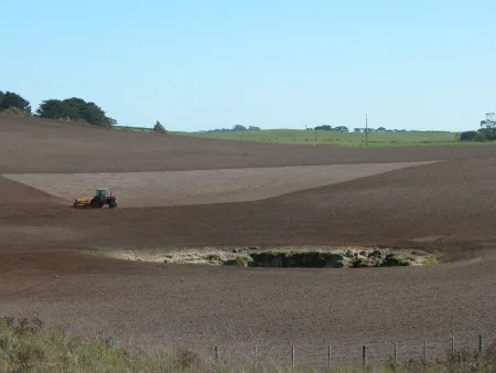
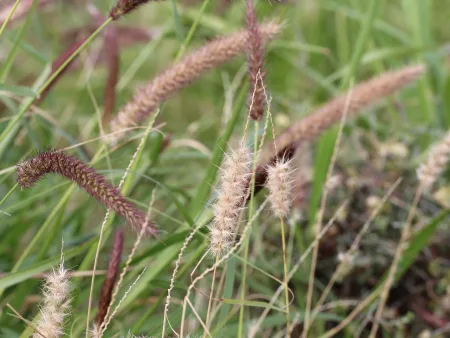
Another major change to land use was the result of the mechanisation of native vegetation clearance. Extensive clearing of native vegetation occurred to establish grazing and cropping land. Less than 13% native vegetation cover remains.
A warming and drying climate
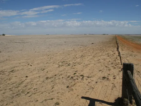
The Limestone Coast is facing a long-term climate trend of drying and warming. Average temperatures will continue to increase in all seasons. More hot days and warm spells are projected, though with fewer frosts. Annual mean minimum temperatures are projected to increase by 0.8 °C by 2030.
A continuation of the trend of decreasing winter rainfall is projected along with spring rainfall decreases. Declines are greater in spring than any other season and are as much as 8.8% in the Limestone Coast region.
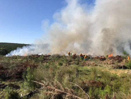
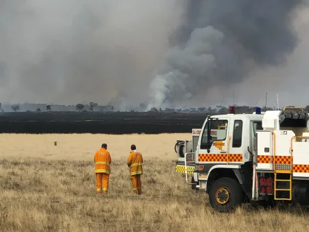
Mean sea level will continue to rise and height of extreme sea-level events will also increase. A harsher fire-weather climate is also projected for the future.
These projected trends will have many impacts and create new and complex landscape management challenges.
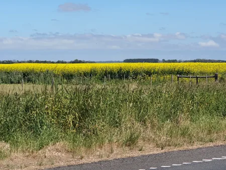
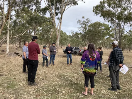
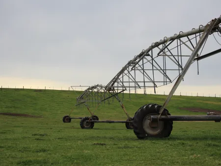
A mosaic of privately owned land with opportunities to bridge conservation and production
The majority of the Limestone Coast is in private ownership. Land managers and their actions are crucial to the management of our landscape. Countless opportunities exist to bring together production and conservation for the benefit of all.
Find out how the Limestone Coast Landscape Board works with land managers to grow sustainable primary production.
Our public lands hold some of the most significant environmental assets
Only a small proportion of the region is managed by public agencies. These areas are largely managed by the Department for Environment and Water. Local Government also plays an important role in public land management, particularly of roadside vegetation, public reserves and beaches. These areas of the Limestone Coast are home to some of the regions most significant natural assets, including important areas of biodiversity and native vegetation, wetlands and coastal areas. They are biodiversity strong holds.
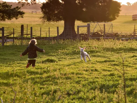
A generation of youth connected to Country
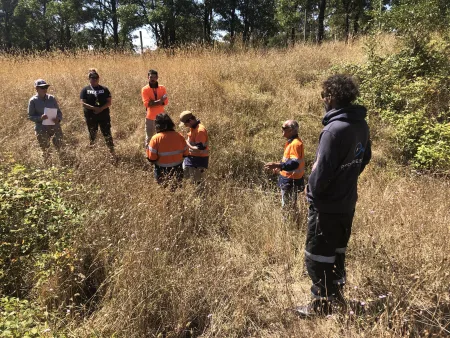
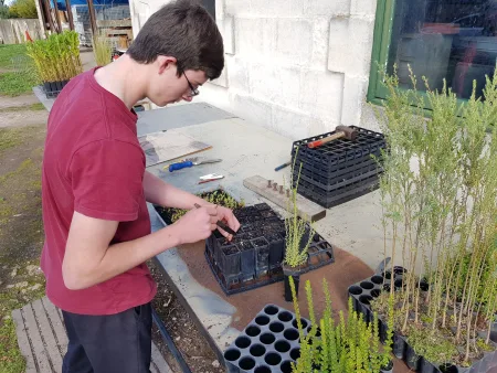
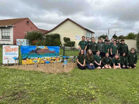
The Limestone Coast has over 5,000 children growing up in our landscape. Involving students in learning about our landscape fosters values and attitudes which support a life-long commitment to our landscape. Schools are also in a unique position to influence the wider community. Students often influence families and friends through their passion and vision. Schools also partner with businesses, local government or community groups to achieve significant outcomes.
The Limestone Coast Landscape Board works to connect youth to Country.

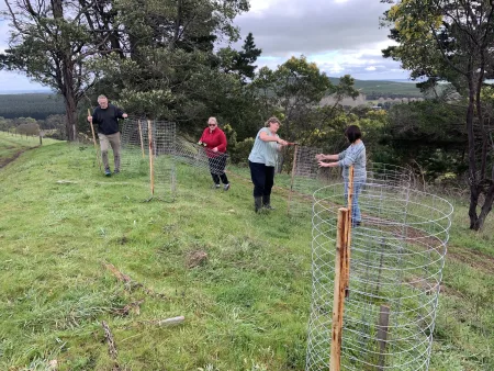
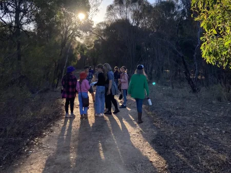
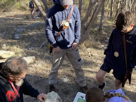
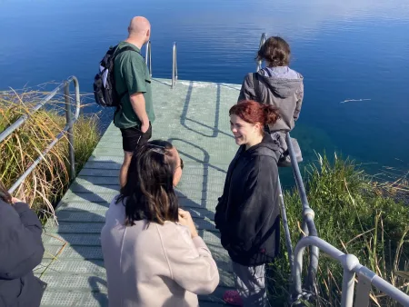
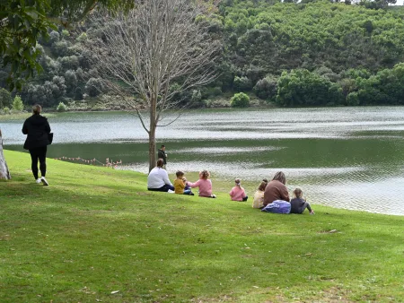
Volunteers and community are the heart of landscape management
The Limestone Coast has a small number of conservation and volunteer groups. This includes Friends of Parks groups, field naturalists, community and Landcare groups.
Volunteering is about contributing to an improvement in our landscape that we all enjoy. It includes the time and effort individuals and groups contribute to land that they do not own. In the Limestone Coast region more than 20% of the population are doing some form of voluntary work. The grassroots work of volunteers and community groups leaves a positive legacy for future generations.
Find out how the Limestone Coast Landscape Board supports the community to take grassroots action.

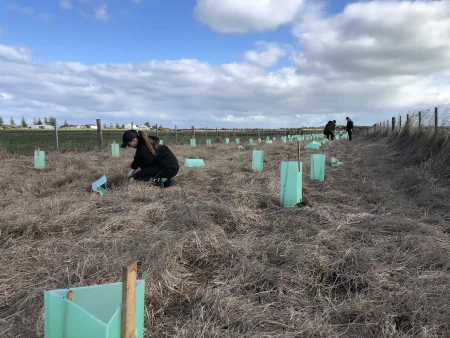
Preventing further biodiversity loss
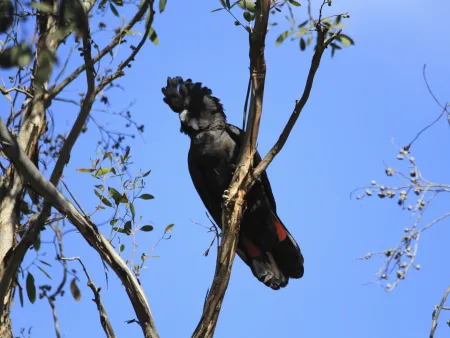
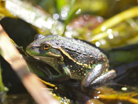
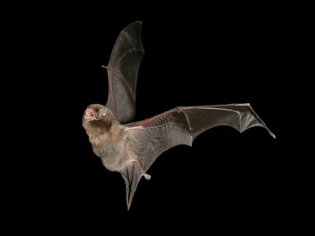
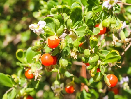
Biodiversity is declining in line with the loss of wetlands and native vegetation. There is less than 3% of the original wetland extent and less than 13% of the native vegetation extent. There are six plant species and 31 animal species in danger of becoming extinct. We need to protect what is left and, in some places, return what has been lost.
The Limestone Coast is working to protect threatened species.
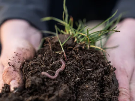

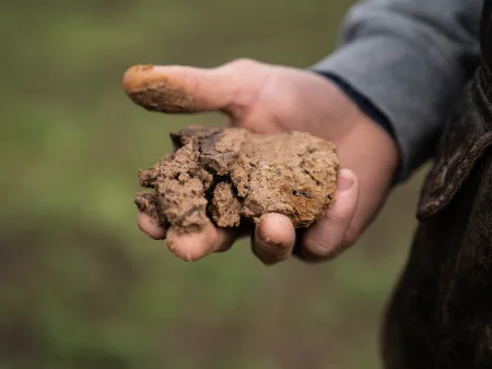
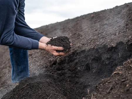
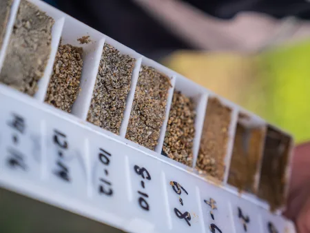
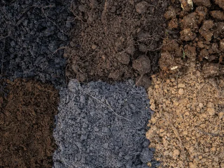
Maintaining healthy soils
Maintaining healthy soils is critical to the region's significant productivity. A range of soil health issues are evident in the region:
- soil acidifcation
- dryland salinity
- soil nutritional fertility
- erosion
- water-repellent soils.
The Limestone Coast Landscape Board works with land managers to maintain soil health.
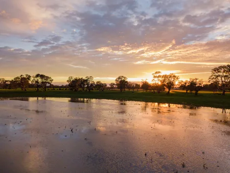
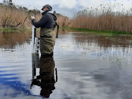
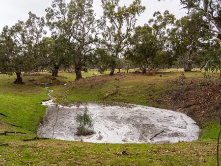
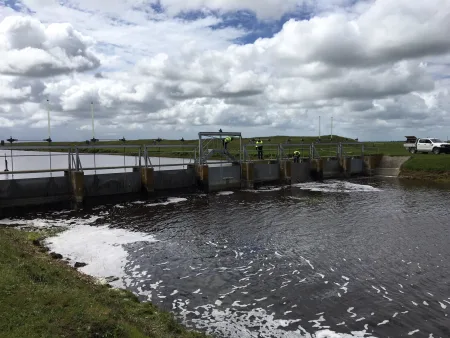
Creating a water secure future
With a general absence of reliable surface water, there is a large reliance on groundwater. In the Limestone Coast towns, stock and domestic use, primary production and industry are dependent on groundwater. The main water resources are within two regionally extensive aquifer systems, an upper unconfined aquifer and a deeper confined aquifer. Water security challenges are varied across the region but include:
- Increasing water quality issues.
- Declining groundwater levels in places.
Managing these resources sustainably now and for future generations is critically important. Find out how the Limestone Landscape Board leads water resource management in the Limestone Coast.
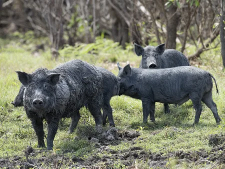
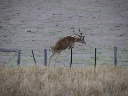
Managing the impacts of weeds and animals
Pest plants and animals cost the Limestone Coast community millions of dollars a year. These costs come from control costs, production losses, environmental impacts, social impacts and infrastructure damage. Under a changing climate the populations, ranges and migration of pest plant animals will change. Right now in the Limestone Coast there are 20 priority pest animal species and 69 priority weed species.
The Limestone Coast Landscape Board works to manage the impacts of weeds and pest animals.