Adaptation of the south eastern drainage network
The adaptation of the south eastern drainage network under a changing climate project informs opportunities to improve water management in the region, including the potential use of water in the drainage network. It considers risks to primary industries and the environment.
This research:
- Improves our understanding of the risks to primary producers and the environment.
- Supports policy and management decisions for water security.
- Explores options to manage water resources differently, including water in the drainage network.
Project background
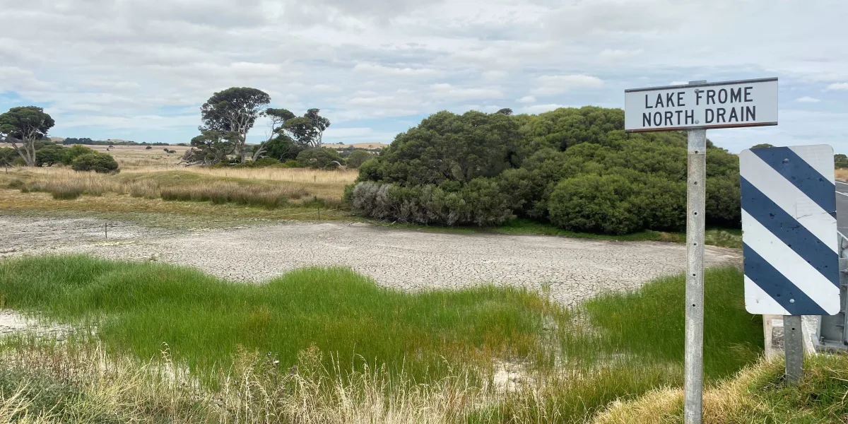
The Limestone Coast of South Australia is a highly modified landscape. Over time, an extensive cross-catchment drainage system has converted a wetland-dominated region into one dominated by agriculture and forestry. Today, the region supports a diverse agricultural sector and extensive forestry plantations, all highly dependent on reliable rainfall and access to groundwater resources.
But with the climate becoming more variable, it is critical to understand how the drainage network affects groundwater and surface water resources and the risk this poses to primary production and the environment.
Achieving water security under a changing climate requires a more integrated and holistic approach to water management. In particular, we need to better understand and manage the interactions between surface water and groundwater to balance demands.
Project partners and funding
The project has been jointly funded by the Australian Government through the National Water Grid Fund, the Limestone Coast Landscape Board, and the South Australian Government. The project was delivered by the Goyder Institute for Water Research partners: CSIRO, the University of South Australia, Flinders University and the University of Adelaide in collaboration with the Limestone Coast Landscape Board, South Eastern Water Conservation and Drainage Board (SEWCD Board) and the Department for Environment and Water.
About the project
The project has delivered five interconnected tasks.
Quantifying the value of water
Led by Dr Bethany Cooper, Prof Lin Crase, John Kandulu and Vandana Subroy (University of South Australia).
Read the report on quantifying the value water [PDF, 1.9 MB]
- Assessed the value of water for primary industries such as dairy, forestry, viticulture, and potatoes.
- Estimated the value of water for non-consumptive uses aimed at achieving ecological outcomes.
- Used choice experiments at Bool Lagoon (a Ramsar-listed wetland) to understand community willingness to pay for improved wetland health.
- Provides important context for hydrological tasks and informs options to manage additional available water.
Current and future water availability
Led by Dr Matt Gibbs, Mahdi Montazeri, Bill Wang, Dr Russell Crosbie and Ang Yang (CSIRO).
Read the current and future water availability report [PDF, 21 MB]
- Developed a water balance model using the Bureau of Meteorology’s AWRA-L model.
- Integrated national and regional datasets to capture runoff, recharge, and soil moisture, accounting for seasonal dynamics and variability.
- Enables analysis of climate change impacts on the full water balance, supporting both short- and long-term water management decisions.
Modelling groundwater and wetland interaction
Led by Amin Gholami, Prof Adrian Werner, Ehsan Kamali Maskooni, Hongxiang Fan, Amir Jazayeri and Cristina Solórzano-Rivas (Flinders University).
Read the modelling groundwater and wetland interaction report [PDF, 25 MB]
- Built three-dimensional aquifer-wetland models for Bool Lagoon and a karst spring restoration site near Port MacDonnell.
- Tested management options such as:
- redirecting or holding water in drains
- managed aquifer recharge
- altering surface water inflows
- reducing wetland basin extent with levees.
- These learnings will assist decisions to manage additional available water in the region.
Saltwater intrusion risk
Led by Dr Tim Munday, Aaron Davis and Tania Ibrahimi (CSIRO).
Led By Amin Gholami, Prof Adrian Werner, Cristina Solórzano-Rivas, Amir Jazayeri, Ehsan Kamali Maskooni and Hongxiang Fan (Flinders University).
Read the reports on saltwater intrusion risk:
Saltwater intrusion risk modelling [PDF, 5 MB]
Saltwater intrusion risk AEM report [PDF, 5 MB]
Saltwater intrusion AEM sections report [PDF, 95 MB]
- Investigated seawater intrusion risks in coastal areas south of Mount Gambier, home to high-value irrigated agriculture and significant karst springs.
- Conducted an airborne electromagnetic survey in October 2022 and developed cross-sectional models to simulate seawater intrusion under different scenarios.
- Provides evidence to inform management actions, including the potential role of wetland reinstatement in controlling seawater intrusion.
Groundwater, Ecology, Surface Water and Wetland Assessment Tool (GESWAT)
Led by Dennis Gonzalez, Prof Adrian Werner, Amir Jazayeri, Jodie Pritchard and Hongxiang Fan (Flinders University).
- GESWAT is a dynamic GIS tool that integrates outputs from all project tasks with critical datasets (surface water flows, groundwater levels, rainfall, water use and allocation, ecological data).
- It provides a single platform for the Limestone Coast Landscape Board and partner agencies to view, compare, and interrogate hydrological and ecological information to inform policy and management decisions.