Lower Limestone Coast Water Allocation Plan
If you have a water licence or are looking to get a licence in the Lower Limestone Coast you should understand the Lower Limestone Coast Water Allocation Plan.
The Lower Limestone Coast Water Allocation Plan is based on scientific research of the water resources combined with extensive community consultation and participation.
The Lower Limestone Coast Water Allocation Plan sets out the rules for the allocation, take, use and transfer of groundwater in the Lower Limestone Coast Prescribed Wells Area. It protects our groundwater resources for continued social, economic and environmental benefit of current and future generations. It also provides flexibility and equity of access to water.
Lower Limestone Coast Water Allocation Plan [PDF, 2 MB]
Appendices for the Lower Limestone Coast Water Allocation Plan [PDF, 5 MB]
The Limestone Coast Landscape Board develops and maintains water allocation plans as outlined in the Landscape South Australia Act 2019. The plans are developed with environmental, social, cultural and economic needs in mind and seek to ensure long term sustainability and security of the resource.
The Lower Limestone Coast Water Allocation Plan is being revised through an amendment process
In 2022/23 a review of the Lower Limestone Coast Water Allocation Plan was undertaken. Review resulted in the Lower Limestone Coast Water Allocation Plan moving into an amendment process to revise it. This amendment process is currently underway.
Find out more about the review and amendment of the Lower Limestone Coast Water Allocation Plan
During the process to amend the Lower Limestone Coast Water Allocation Plan all water licensing will continue as per usual. The Department for Environment and Water Licensing Team are your contact for all water licensing matters.
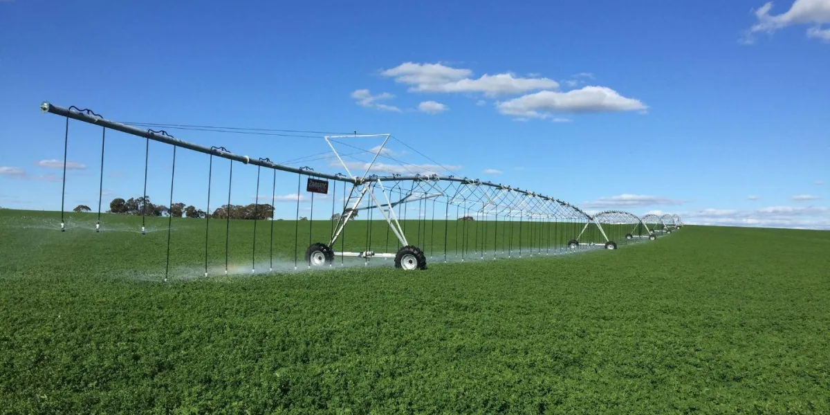
Water resources in the Lower Limestone Coast Prescribed Wells Area
Water resources in the Lower Limestone Coast Prescribed Wells Area are divided between the unconfined and confined aquifers. The upper unconfined aquifer is recharged through rainfall. A thick clay layer sits under the unconfined aquifer preventing recharge into the confined aquifer and connectivity between the aquifers.
The area supports over 3,000 water licences. There is no further water available for allocation from the Lower Limestone Coast Prescribed Wells Area.
Water resource in the unconfined aquifer
The unconfined aquifer is close to the grounds surface and is recharged by direct rainfall. The thickness of the unconfined aquifer varies from ~10 metres thick north west of Mount Gambier to more than 300 metres thick south of Mount Gambier. The depth to water varies throughout the prescribed wells area relative to topography. Generally the depth to water is less than five metres on the plains, up to 20 metres in the ranges and more than 40 metres in the Mount Burr Range. Generally salinity in the unconfined aquifer increases from the south to the north.
The unconfined aquifer is divided into 61 management areas.
Water resource in the confined aquifer
Much of the water in the confined aquifer is over 25,000 years old. A confining clay layer separates the unconfined and confined aquifers. The confined aquifer becomes thinner and absent in the north of the prescribed wells area. Recharge to the confined aquifer occurs by lateral through-flow. The Dundas Plateau in Western Victoria is the main recharge area.
Salinity in the confined aquifer system is typically low in the south around Mount Gambier. It increases gradually northwards as the aquifer thins north of Kingston.
The confined aquifer is divided into 14 management areas.
The Border Groundwater Agreement Designated Area and the Lower Limestone Coast Water Allocation Plan
The Designated Area is a 40 km wide strip centred on and extending the length of the border between South Australia and Victoria. It is divided into management zones with Zone 1A, Zone 2A, Zone 3A, Zone 4A, Zone 5A, Zone 6A and the southern part of Zone 7A falling within the Lower Limestone Coast Prescribed Wells Area. Under the Groundwater (Border Agreement) Act 1985, the Border Groundwaters Agreement Review Committee sets an extraction limit for licensed wells in each zone of the Designated Area. The Border Groundwaters Agreement prevents the granting of new allocations or renewing temporary allocation above that limit.
Find out more about the Border Groundwaters Agreement
History of the Lower Limestone Coast Water Allocation Plan
This version of the Lower Limestone Coast Water Allocation Plan was adopted on 26 November 2013. It was the first plan for the Lower Limestone Coast Prescribed Wells Area. It amalgamated the former Lacepede Kongorong, Comaum-Caroline and Naracoorte Ranges prescribed wells areas.
The Lower Limestone Coast Water Allocation Plan has been amended three times since it was adopted in 2013. Amendment occurred in 2014, 2015 and 2019.
Summary of 2014, 2015 and 2019 amendments
In 2018 the Goyder Institute for Water Research did an independent review of science underpinning reductions to allocations. This process:
- Reviewed the science and data used to carry out the risk assessment in 2012.
- Reviewed the science and data that had become available from 2012 to 2018. It focused on science and data that affects the assessment of risks to the water resources.
- Made recommendations to the South East Natural Resources Management Board about information to support a risk assessment if run in 2019. It also made recommendations about gaps in data that could improve the science for the next review.
This was not a comprehensive review of the Lower Limestone Coast Water Allocation Plan and did not result in amendment.
As allowed under the Lower Limestone Coast Water Allocation Plan a new assessment of the risk to water resources was undertaken in 2019. The risk assessment was based on the Department for Environment and Water’s Risk Assessment Framework and input from a Stakeholder Advisory Group. The Stakeholder Advisory Group were involved in the development of the risk assessment and in providing advice about resource condition limits. The risk assessment was done by a panel of internal and external experts. The 2019 risk assessment was completed before 1 July 2019 to meet the requirements of the Lower Limestone Coast Water Allocation Plan.
The 2019 risk assessment process identified three management areas that were at high risk: Coles, MacDonnell and Joanna. It identified five management areas that were rated as high risk in 2013 and are now rated as low or medium risk: Short, Zone 3A, Frances, Hynam East and Zone 5A. 53 management areas remained at low or medium risk.
Risk assessment summary of outcomes [PDF, 331 kB]
Goyder review, Independent review of science underpinning reductions, full report [PDF, 1 MB]
Assistance with your water licence or the water allocation plan
The Department for Environment and Water administers water licences for South Australia. mywater is South Australia’s 24/7 online water management system and customer portal. You can access information about your licence and access a range of water services such as applying to transfer water or applying for a permit to put a bore in. For support in using the mywater portal contact the mywater Contact Centre at dew.mywater@sa.gov.au or call 08 7133 7333 during business hours.
If you need any other assistance with your water licence contact the water licensing team at DEW.LCWaterLicensing@sa.gov.au or call 08 8735 1134. The Water Licensing team are located at 152 Jubilee Highway East, Mount Gambier, 5290.